
Ingest
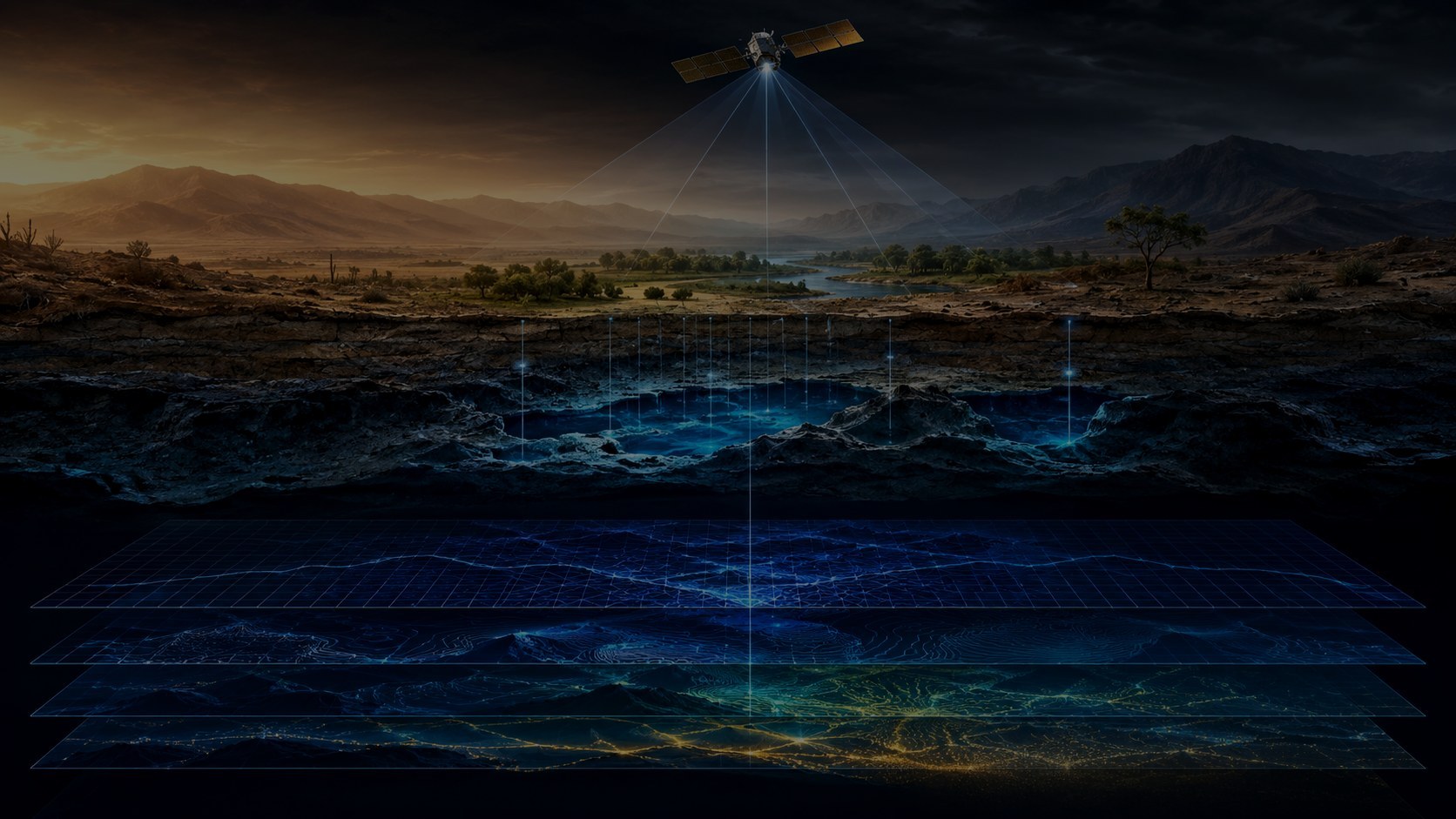
Satellite, radar, terrain and contextual layers.

01 Pilot-ready geospatial intelligence
GroundTruth AI fuses satellite imagery, radar, terrain and environmental evidence to rank high-priority investigation zones—so institutions can deploy surveys and field teams with confidence.
02 The intelligence core
A disciplined evidence engine transforms optical imagery, SAR, terrain, environmental variables and temporal change into reviewable investigation priorities.
Satellite, radar, terrain and contextual layers.
Spatial separation, hard negatives and leakage control.
Confidence-aware prioritization with traceable evidence.
Priority maps, polygons and technical evidence summaries.
03 Validation discipline
Nearby geography can leak across conventional training and test sets. GroundTruth AI is designed around spatial separation, hard-negative learning and outputs experts can interrogate.
Coordinates and nearby regions are separated to reduce geographic memorization.
Models face quarries, terraces, construction and other confusing landscapes.
Scores remain connected to evidence, uncertainty and traceable source layers.
The platform prioritizes investigation; it does not replace technical judgment.
04 One core, many missions
Regional screening before hydrogeological, geophysical and field validation.
01Landscape change and risk-oriented inspection planning.
02Prioritized ground investigation for engineering and public planning.
03Survey prioritization and protection workflows for expert teams.
04GroundTruth AI supports prioritization and evidence generation. Field verification remains essential.
05 Evidence packages
Sample outputs demonstrate the clarity, structure and auditability of a GroundTruth AI engagement. Demo materials are explicitly labeled and never presented as field-verified evidence.
Scope, ranked targets, uncertainty and a next-step field plan.
Open report ↗ 02PDF · MethodA non-confidential overview of the evaluation discipline.
Open report ↗ 03PDF · BriefPlatform position, market path and partnership opportunity.
Open report ↗
06 Business / partners

Leading research direction, validation methodology, product strategy and institutional partnerships.
Defined geography, ranked targets, expert review and technical reporting.
Recurring monitoring, private data, platform access and GIS integration.
Engineering, geophysical and environmental teams prioritize field operations.
07 Partnerships and pilots
GroundTruth AI is seeking institutional pilot partners, technical collaborators, domain experts and pre-seed support.
GroundTruthAi@zohomail.com ↗